Now live on iPhone

The forecast you checked comes from a station thousands of feet below the trail.

FloodArk corrects for the altitude you'll actually be standing — trailhead to high point, point by point along the route. You watch the trail. It watches the sky.

Trail weather, microclimates, and wildfire intelligence today.
By altitudeThe trailhead and the summit can have different weather. FloodArk reads each point at its own elevation — not the valley station's.
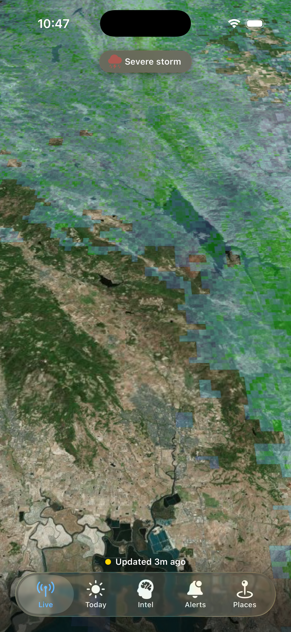
Live radarReal radar over a real satellite map. The pill up top names what the radar shows over your trail right now.
The scout's reportA short morning note you can read in under a minute, written around the places you hike. No jargon.
Precipitation detected on radar
Live tab
The Live tab when precipitation was detected over the Bay Area

A real moment from the iOS app — the radar picked up active precipitation over the Bay Area and the pill at the top labeled it plainly. Not a mockup, not stock art.

What you see, every day

The whole sky, in your pocket.

A live radar over the places you hike, the scout's morning note, and the day's outlook — all in one app.

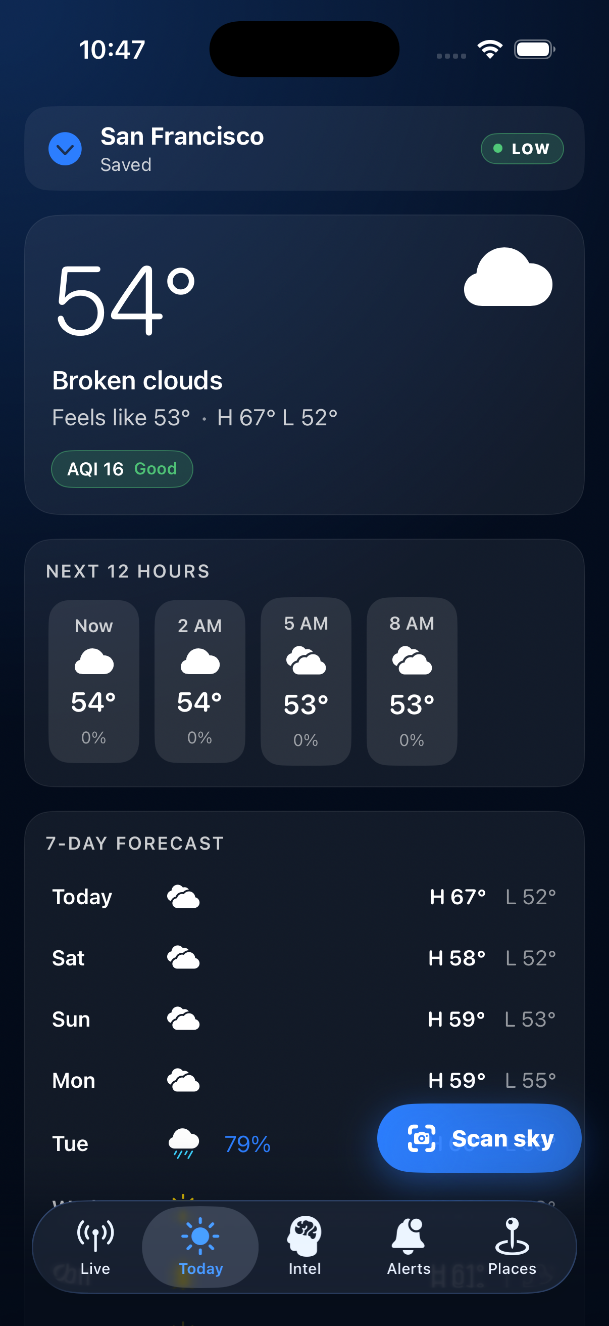
The Today tab showing current conditions for San Francisco
Today The morning glance.

Right-now temperature, the day ahead, the week ahead. One tap to share what the sky looks like where you are.
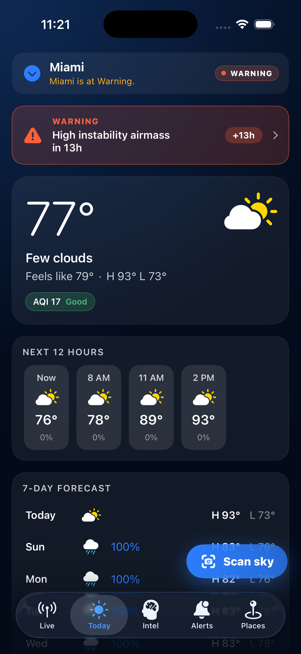
A weather warning shown on the Today tab when the radar shows something nearby
When it changes Plain warnings on the Today screen.

When the radar shows something near your spot, the Today screen says so plainly. The pill names what's overhead, where it is, and how long it stays.

A real morning brief covering Current Location and San Francisco — pointing the user to the Ferry Building market and noting seasonal produce
Intel A brief, written for you.

Open the Intel tab and we read your saved places, then write a short note in plain English. The screenshot above is a real one — it points you toward the Ferry Building market and the produce that's in season.

Data drawn from NOAA, NASA, CAL FIRE, NWS, and USGS, alongside select commercial providers.

Live, right now

Watch the whole country at once.

Live flood signals from NOAA and USGS — moving on a 3D globe in your browser. More hazards (fires, seismic, hurricanes) are wired and rolling out as each feed clears verification.

Open the live globe

Best on desktop — visit flood-ark.com/dashboard on a larger screen for the full live globe.

You watch the trail. It watches the sky.

Available on iPhone

Carry it with you.

FloodArk on your phone — the trailheads you save, live radar, and the scout's morning report. Available now on the App Store.

View in theApp Store